EXPLAINING COLOMBIA’S DIVERSITY
Colombia’s stunning mega-diversity, second in the world only to Brazil – a country seven times its size – can only be understood if you begin to examine its geography.
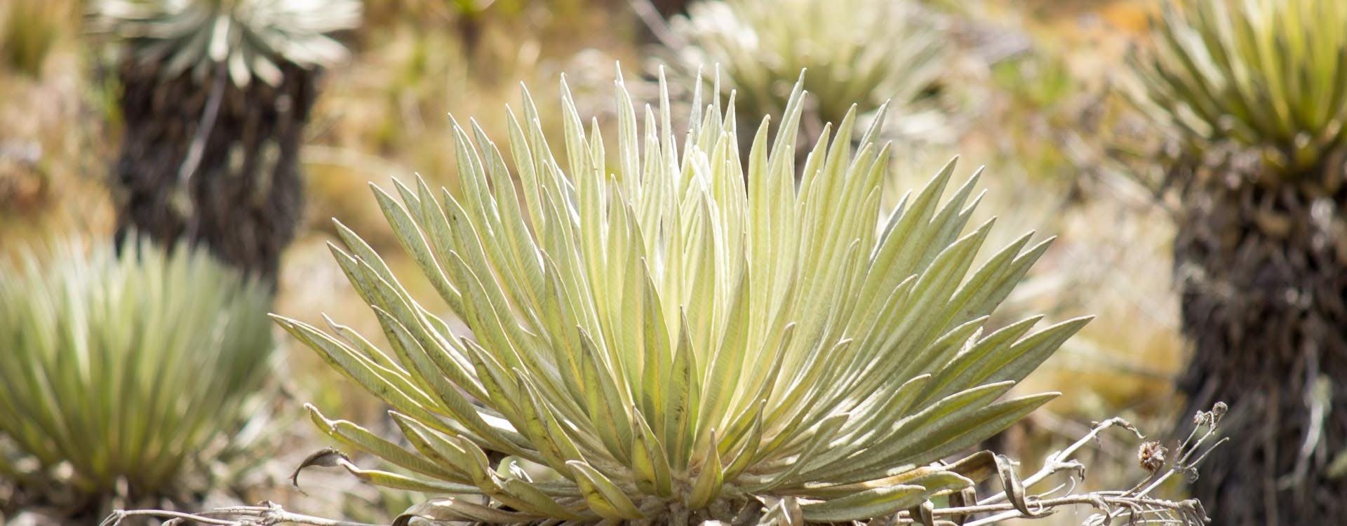
Starting with the mountains, an Andean knot enters the country from Ecuador and after some 100km splits into three Andean mountain ranges – the Western, Central and Eastern. The highest of the three, the Central Andes, volcanic in its creation and punctuated by glacier-capped volcanoes along its length, is older and higher than the Western, which was created by the Nazca plate subduction below the South American plate, as was the Eastern Andes, the oldest and widest of the three ranges, noted for its large plateau or ‘altiplano’ on which sits the capital Bogota, reaching heights of over 5,350masl (17,500ft).
This colossal Andean landscape or region is itself divided by two major rivers, the Cauca and Magdalena that flow within two fertile, tropical inter-Andean valleys. These mountain ranges, known as ‘Las Cordilleras’, essentially split the even vaster Amazon basin from the lowland tropical forest of the Pacific or ‘Chocó’ biogeographical region that stretches from the northern jungles of the Darien bordering Panamá along the Pacific coast to northern Ecuador. Here it is important to highlight that Colombia has not one but two major rainforests, with the jungles of the Pacific plain (‘Choco region’) being more diverse per KM/sq. than its Amazonian counterpart.
Bordering the northern edge of the Amazonian plain, the Guaviare River roughly separates the basin of Colombia’s other large, flat expanse, the tropical savannas of the ‘Llanos’ (plains). This immense, flat grassland drains to the Orinoco River and stretches deep into Venezuela, with a harsh, long dry season from November to April. During the wet season, large areas of the Llanos are flooded providing the backdrop to the original Colombian cowboys – ‘Los Llaneros’.
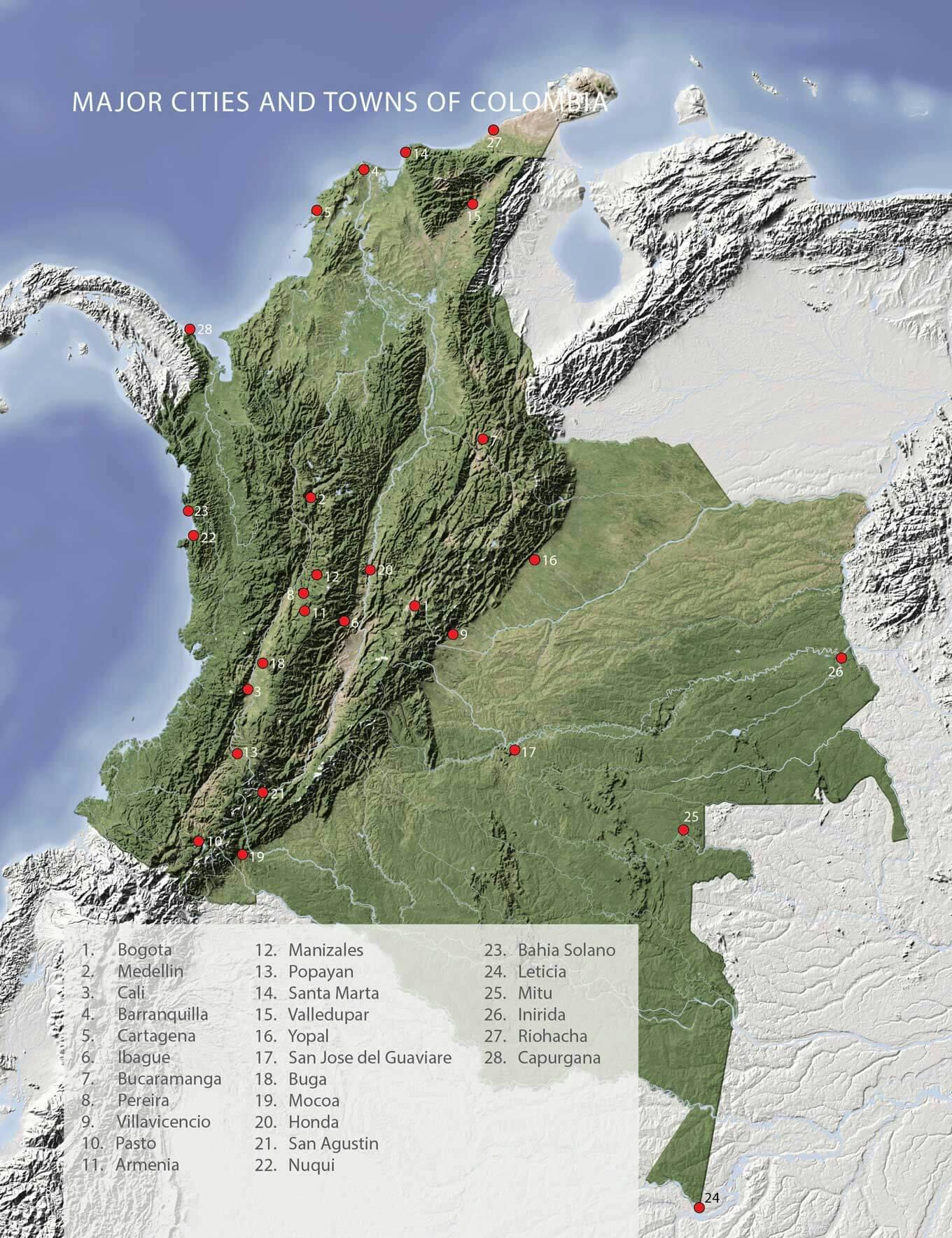
To the north, along the Caribbean, 1,000 miles (1,600km) of coastline stretch from the Darien to the northernmost tip of South America – La Guajira peninsula and desert on the border with Venezuela.
Particularly special is the magical topographical accident that is the Sierra Nevada de Santa Marta, Colombia’s highest mountains which tower over 5,770masl or 18,900+ft. These snow-covered peaks lie just 50km as the crow flies from the stunning tropical beaches and jungles of Tayrona national park, making it the highest coastal range on Earth.
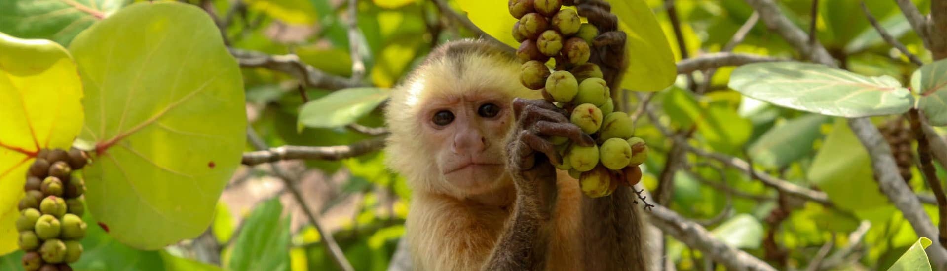
This island of evolution, isolated from the Andean mountains, has, become, over time, yet another endemism hotspot and leads us on to our conclusion: Colombia’s dizzying collection of ecosystems, from snow-covered mountains with their various climatic zones, lush valleys, vast plains and impenetrable forests, to arid deserts and endless coastlines, each geographically isolated from one another and formed over millions of years, have conspired to make Colombia an evolutionary hotspot for an equally dazzling collection of flora and fauna.
This natural abundance of food, fresh water and array of climatic conditions eventually attracted humans, who also thrived here, adapting and evolving into the multitudes of pre-Hispanic cultures that we know of today, entirely distinct from one another in language, culture and traditions, lords and kings over their own isolated pockets of the country. It is no coincidence that Colombia has over 70 indigenous languages that are still spoken today, remnants of the great and beautiful golden peoples that once inhabited Colombia’s territory before the arrival of the Spanish.